- 10/10 dog friendly
- 7/10 kid friendly
- 4/5 accessibility
- 4/10 difficulty
- No bathrooms
- Plenty of parking
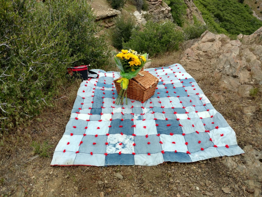
This trail has special meaning for me. Mitch and I met and started dating in high school, but because we both served missions for our church in different countries at incongruent times, we didn’t see each other in person for almost 4 years. We kept in contact through letters, emails and videos when we could. I always told Mitch that I didn’t want him to meet me at the airport, or make a big deal of our reunion. But of course he didn’t listen. 😉 Luckily, he was on a cruise with his family when I came home, so I had a few days to settle in before we finally got to reunite.
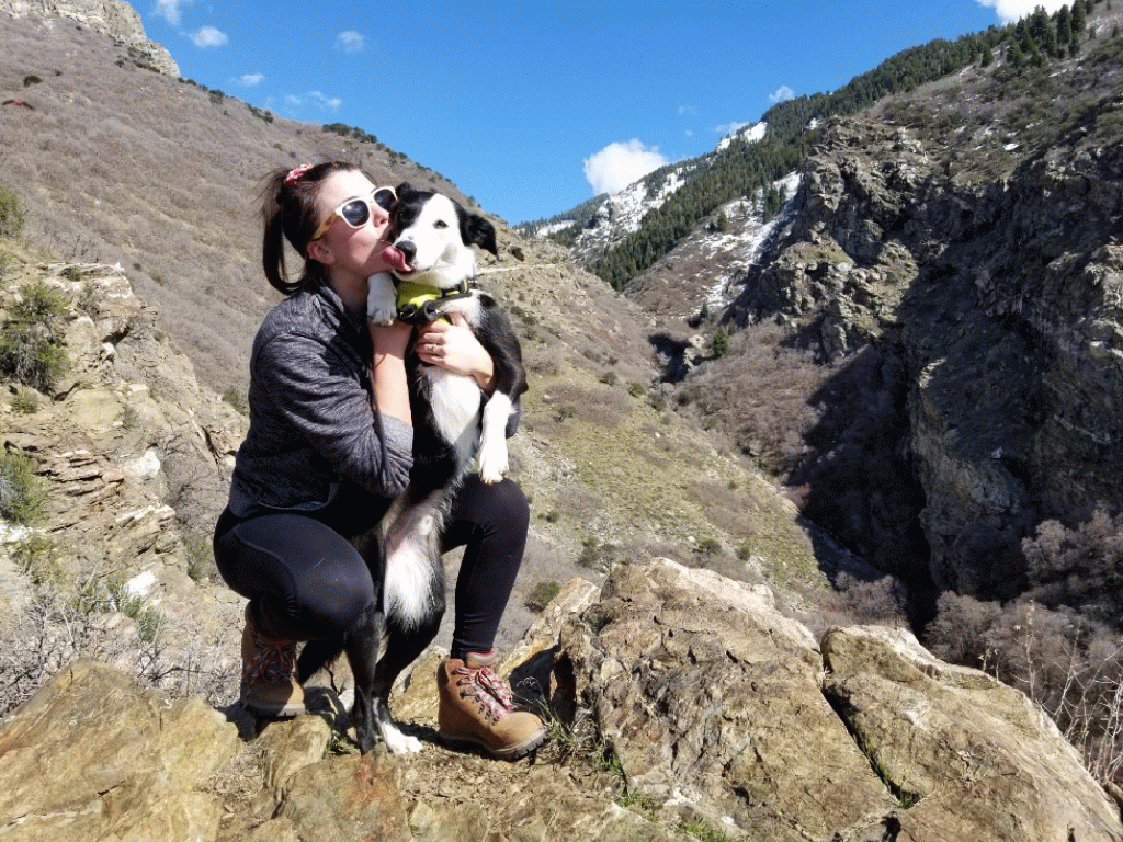
In May of 2017, my sister (who I used to hike with every Saturday) told me that she wanted to take me on a new hike. During the hike, we got lost. Mitch had given my sister pretty specific instructions for the hike. My sister and I didn’t make it to the planned destination until hours after Mitch thought we would get there. My sister and I had gotten so lost that I suspected that this whole hike was orchestrated by Mitch and my sister confessed it was. She ended up calling Mitch to get us back on track. We finally made it up to the overlook and my reunion with Mitch was very sweet.

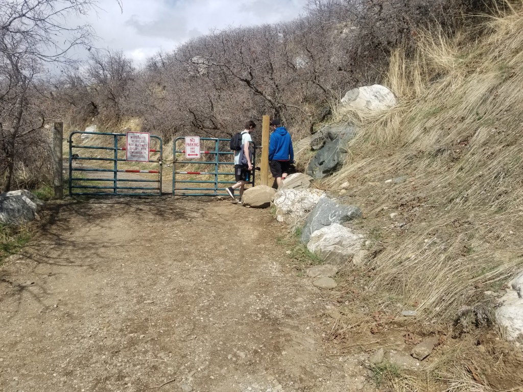
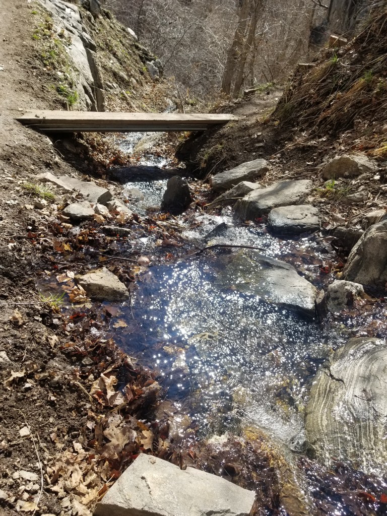
This trail is located in Farmington, Utah. We start out near the Davis Creek Trailhead and follow the Bonneville Shoreline Trail until we get to the bottom of the trail. This trail has actually been developed a lot since we hiked it in 2017 and even in 2019. We hiked it in March 2020 and they’ve added some different signs and the bridge is still very secure. It’s become moderately popular trail, with quite a few different routes to take once you get about midway up. It was honestly busier than we have ever seen it because of the Coronavirus and everyone not having anything to do but get outside with their families. That being said, it was not so busy that you can’t maintain 6ft distance between your party and another.
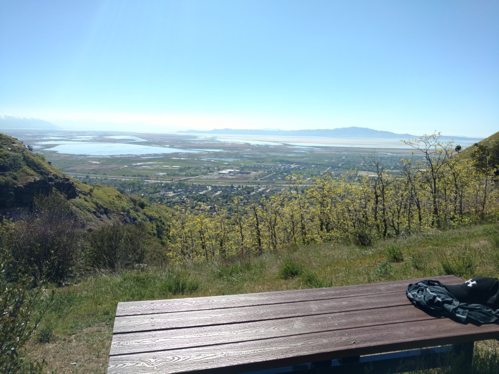
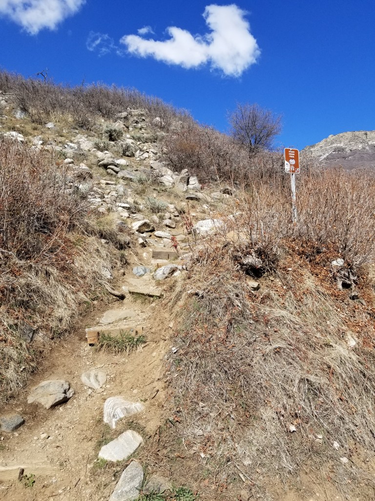
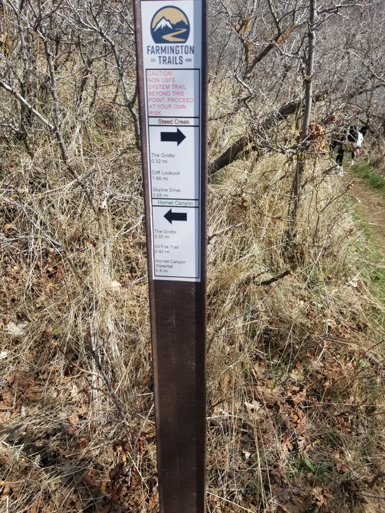
The entire trail to the cliff outlooks is about 4 miles roundtrip from the parking lot, but to the bench overlook that we like, it’s about 2.25 miles round trip. When you are standing in the parking lot facing the mountain, go left, there should be a sign there for “Triumph Trail” or Bonneville Shoreline Trail. This trail leads down to Firebrick Road. In the spring, Steed Creek gets pretty full and you might have to walk through water to get from Bonneville Shoreline to Firebrick Road. The bottom of the trail marker will be on the right side of the trail. Once you leave Firebrick Road there is a steep increase, but it’s not steep enough to not be pet and kid friendly. To get to the bench we like, follow the trail markers for Cliff Outlooks or the “Grotto”. Make sure to take a left when you get to the bridge that goes over the creek. After the bridge, there are some steeper switchback, but take it slow if you need to, the view is worth the work.
We love this trail and we hope you do too! As always, these trails and these mountains are beloved. Please respect it by packing out what you brought in and cleaning up after your pets!
Have a good week and have fun adventuring!
– Mindy 🙂
